
The Quick Version
- Hiking in Blue Ridge happens on federal ground: the Chattahoochee National Forest covers 40% of Fannin County.
- That is roughly 106,000 acres of a 243,101-acre county, and none of it can carry a house.
- The Aska Trail System holds 16.5 miles of it, 4.4 miles south of downtown on Aska Road.
- Fall Branch Falls runs about 30 minutes round trip from Stanley Creek Road.
- The Appalachian Trail begins in this county, on 3,782-foot Springer Mountain.
- Hunting is legal on these trails. Wear orange in deer season.
Last updated August 2026.
Forty percent of Fannin County will never come up for sale. The county’s own comprehensive plan counts roughly 106,000 acres of Chattahoochee National Forest inside a county holding 243,101 acres of dry land, and it describes that ground in deliberately flat language: public land that cannot have residences or businesses. Every trail below runs across it.
That is the part a trail list leaves out. Mileage is easy to find. What follows is the mileage plus the reason the mileage exists, which starts to matter around the third weekend, when the drive home gets quieter.
Where should you start hiking in Blue Ridge?
Deep Gap, 4.4 miles south of downtown on Aska Road. The lot sits below the gap on the right at N34°48.995′ W084°17.989′, roughly a 15-minute drive from the welcome center, and it operates as the principal trailhead for the entire Aska Trail System.
From that one lot you can reach a 5.1-mile loop, a strenuous 4.8-mile single track, and a 3.7-mile climb beginning directly across the road. The Fannin County Chamber’s trail map counts 16.5 miles across the system. Individual trails run from 0.2 miles to 5.1.
Two other lots spread the traffic. Shady Falls Road is 5.9 miles south on Aska, then left 0.2 miles. Stanley Gap is 8 miles south, right on Stanley Creek Road with the Toccoa Riverside Restaurant on your left, parking 4.1 miles along.
What is actually in the Aska Trail System?
Six numbered trails, one waterfall spur, and a stretch of the Benton MacKaye Trail running through the middle of it. Trails climb to over 3,000 feet, and part of the system drops to the shore of Lake Blue Ridge.
| Trail | Length | Difficulty | What it does |
|---|---|---|---|
| Flat Creek Loop #165B | 5.1 miles | Moderate | Starts 100 yards from the Deep Gap lot; forks into the loop at 0.4 miles |
| Stanley Gap Trail #165 | 4.8 miles | Strenuous | Single track through mixed hardwood; intersects the Benton MacKaye Trail |
| Green Mountain #165D | 3.7 miles | Moderate | Begins across Aska Road from Deep Gap; five short climbs, then 2.4 miles down to Forest Road 711 |
| Long Branch Loop #165G | 2.1 miles | Easy | Leaves the Shady Falls lot on an old logging road and crosses the creek |
| Long Branch Connector #165F | 0.5 miles | Moderate | Ties the loop back into the wider system |
| Flat Creek Connector #165A | 0.2 miles | Moderate | Joins Stanley Gap to Flat Creek |
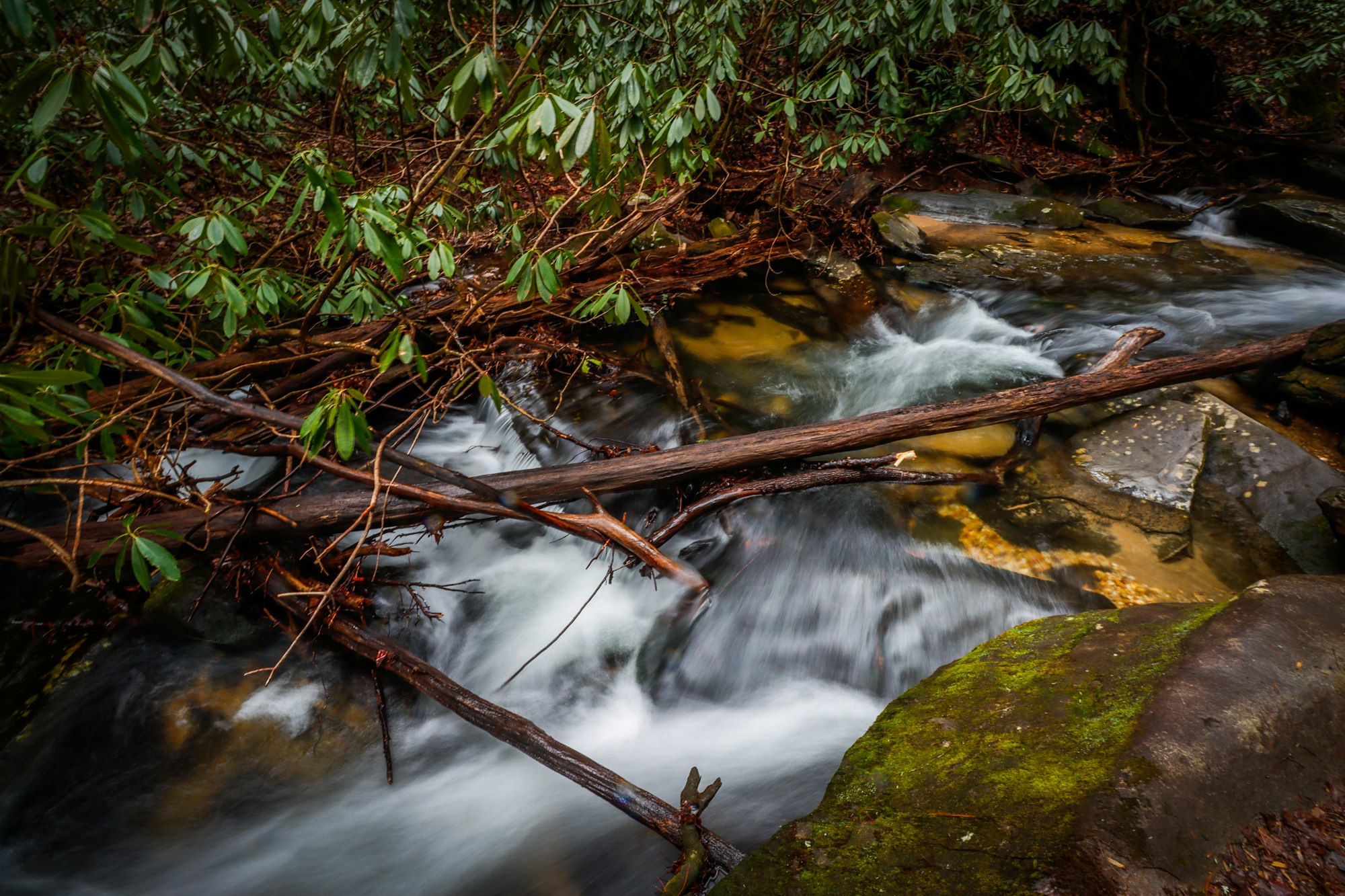
Read the blazes before you read the map. Lime green rectangles mark the hiking routes, yellow diamonds mark the bike routes, and white diamonds mark the Benton MacKaye Trail, which stays closed to bicycles. Fall Branch Falls, the double waterfall off Stanley Creek Road, takes roughly 30 minutes round trip and has a viewing platform at N34°47.017′ W084°18.166′.
Why is so much of the North Georgia mountains off the market?
Because the Forest Service holds title, and the county states it in writing. The Fannin County Joint Comprehensive Plan lists Park, Recreation and Conservation as the largest land use category in the unincorporated county at 44%, the vast majority of it national forest.
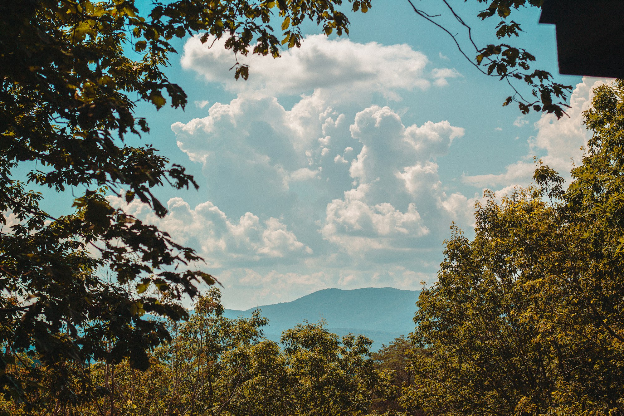
That is a supply fact wearing hiking boots. The ridge you look at from a porch on the Aska Road corridor is, in most directions, a ridge nobody may build on. No covenant protects it, and no future board can amend it. A federal ownership line does the work.
Three long-distance footpaths cross the county for the same reason. The plan names the Appalachian Trail, the Benton MacKaye Trail and the Pinhoti Trail as regionally important resources. Out west sits the 36,977-acre Cohutta Wilderness, where, in the plan’s words, there are not even roads, only trails and dispersed campsites.
Which hike ends at the Toccoa River swinging bridge?
The Benton MacKaye Trail, at a 270-foot span the Forest Service and the Georgia Appalachian Trail Club completed in 1977. It is the longest swinging bridge east of the Mississippi, it crosses where the Duncan Ridge National Recreation Trail meets the river, and walking it costs nothing.
Getting there is the hard part. From Blue Ridge, take Highway 515 East about 4 miles to Highway 60, then run roughly 12 miles past Skeenah Mill. Turn right onto Forest Service Road 816 and drive about 3 miles of rough gravel to the lot at N34°44.350′ W084°10.213′.
The Forest Service recommends four-wheel drive on its gravel roads, and that recommendation is not decorative. Rental sedans reach the trailhead in dry weather and regret it in wet. If you are already reading listings for Toccoa River cabins, this bridge is the stretch of river most buyers picture and few have walked.
Does the Appalachian Trail start in Fannin County?
It does. The southern terminus occupies the 3,782-foot summit of Springer Mountain, in the county’s southern corner, and 78.6 miles of Appalachian Trail continue north from there to the North Carolina boundary at Bly Gap, elevation 3,835 feet.
The whole Georgia corridor stays inside the Chattahoochee-Oconee National Forest, and the Georgia Appalachian Trail Club has maintained it with volunteers since 1930. That is 96 years of one club keeping the tread open on a footpath that ends in Maine.
Most thru-hikers reach the summit the long way, on the 8.8-mile blue-blazed Approach Trail out of Amicalola Falls State Park. It opens with 604 stairs beside a 729-foot cascade, the tallest of its kind in the Southeast, which is a blunt way to learn whether your pack is honest.
How does Blue Ridge connect to the Smokies corridor?
By footpath, continuously. The Benton MacKaye Trail runs nearly 300 miles from Springer Mountain to Big Creek in Great Smoky Mountains National Park, covering 81.8 miles in Georgia and 205.8 in Tennessee and North Carolina.
Ninety-three of those miles fall inside the park, which makes the Benton MacKaye the longest trail in the Smokies. The park itself carries more than 800 miles of trail and charges no entrance fee, although the National Park Service requires a parking tag for any stop beyond 15 minutes: $5 daily, $15 weekly, $40 annually as of 2026.
The high point is Kuwohi at 6,643 feet, third-tallest peak east of the Mississippi, which carried the name Clingmans Dome until the Board on Geographic Names restored the original Cherokee designation in September 2024. Blue Ridge sits 90 miles north of Atlanta and well south of that summit, which is the whole appeal: the crowds thin out down here.
What do visitors get wrong about these trails?
They assume a public trail means a park. It does not. This is a working national forest, and hunting is legal across it, the Aska Trail System included. Georgia requires hunters to wear at least 500 square inches of fluorescent orange or pink, and hikers who borrow that habit in deer season are the ones who hike relaxed.
Four more corrections worth carrying:
- Cell service dies past the pavement. Download the map before you leave Aska Road.
- Bicycles stay off the Benton MacKaye Trail. Foot travel only, and locals notice.
- Waterfall rock is wet, mossy and slick. The Chamber’s own map says never climb on a waterfall, which is advice earned the hard way.
- The Blue Ridge Ranger District office at 2042 Highway 515 West in Blairsville, (706) 745-6928, answers the phone about closures.
What does a trail map tell you about buying here?
More than a listing photograph does. Trailhead proximity is a durable amenity in a way that a granite countertop is not, and the federal forest boundary behind a parcel remains the closest thing to a permanent view guarantee this market offers.
I’m Thomas Echea, and I own a home here in Blue Ridge, so I have walked most of the Aska system in shoes I later regretted. Buyers ask me about square footage first and about what backs up to the lot second. The order should reverse. Square footage can be added, and 106,000 acres of federal forest cannot be manufactured.
Two practical filters. Pull the parcel against the Forest Service boundary before you fall for the view, since a private inholding two ridges over can still change what you see. Then check drive time to a trailhead in winter, when the gravel is worse. That work sits behind every conversation I have about cabins for sale in Blue Ridge and about mountain view and acreage homes.
Frequently asked questions
Where is the best hiking near Blue Ridge, GA?
The Aska Trail System, 4.4 miles south of downtown on Aska Road. It packs 16.5 miles of Chattahoochee National Forest trail into one cluster reachable from three parking areas, with routes from an easy 2.1-mile loop to a strenuous 4.8-mile single track. Trails climb over 3,000 feet, and part of the system runs along the shore of Lake Blue Ridge.
Is the Aska Trail System free to hike?
Yes. The Aska trails sit on Chattahoochee National Forest land with no day-use fee at the Deep Gap, Shady Falls or Stanley Gap parking areas. No fee applies at the Toccoa River swinging bridge either. Great Smoky Mountains National Park is the exception in this region: no entrance fee, but a parking tag runs $5 daily, $15 weekly or $40 annually as of 2026.
How long is the hike to Fall Branch Falls?
About 30 minutes round trip. The trail leaves Stanley Creek Road, which you reach by driving 8 miles south on Aska Road and turning right. Continue about 3 miles to a trailhead 0.2 miles past where the pavement ends. A viewing platform faces the double waterfall at N34°47.017′ W084°18.166′. The rock is slick, so stay on the platform.
Can you hike to the Toccoa River swinging bridge?
Yes, on the Benton MacKaye Trail, and the walk in from the Forest Service Road 816 lot is short. The bridge spans 270 feet, which makes it the longest swinging bridge east of the Mississippi River. The Forest Service built it with the Georgia Appalachian Trail Club in 1977. Reaching the lot takes about 3 miles of rough gravel off Highway 60.
Does the Appalachian Trail go through Fannin County, Georgia?
It starts there. The southern terminus of the Appalachian Trail occupies 3,782-foot Springer Mountain in the southern corner of Fannin County, and 78.6 miles of trail continue north from that summit to Bly Gap at the North Carolina boundary. The entire Georgia section crosses Chattahoochee-Oconee National Forest land, and the Georgia Appalachian Trail Club has maintained it since 1930.
How does Blue Ridge connect to the Great Smoky Mountains?
Through the Benton MacKaye Trail, which runs nearly 300 miles from Springer Mountain to Big Creek inside Great Smoky Mountains National Park. Of that distance, 81.8 miles cross Georgia and 93 miles sit inside the park, where it is the longest trail in the Smokies. The park holds more than 800 miles of trail overall and tops out at 6,643-foot Kuwohi.
Is hunting allowed on the Aska Trail System?
Yes. Hunting is legal on Chattahoochee National Forest land, and the Aska Trail System sits on it, which surprises visitors who expect park rules. Georgia requires hunters to wear at least 500 square inches of fluorescent orange or pink during firearms seasons. Hikers face no such requirement, but wearing a bright vest in the fall and winter is simply good practice here.
How much of Fannin County is national forest?
About 40%. The Fannin County Joint Comprehensive Plan puts roughly 106,000 acres of Chattahoochee National Forest inside a county with 243,101 acres of dry land. It classifies Park, Recreation and Conservation as the largest land use in the unincorporated county at 44%. That land cannot hold residences or businesses, which permanently caps how much of Fannin can ever be developed.