
The Quick Version
Aska Road is the address cabin buyers in Blue Ridge, GA ask about by name. The corridor leaves the south edge of downtown, crosses Deep Gap into the national forest, meets the Toccoa River at a 1918 steel bridge, and dead-ends at Newport Road. Its premium is real but unpublished: it rests on trail and river access no other single road in Fannin County can match.
- The Aska Trail System offers roughly 17 miles of Forest Service hiking and biking routes. Deep Gap, its main trailhead, sits 4.4 miles from town per the agency’s directions (USFS, checked July 2026).
- Shallowford Bridge, a one-lane steel truss from 1918, carries the road’s traffic and the Benton MacKaye Trail across the Toccoa.
- The corridor lies in unincorporated Fannin County: no zoning, and short-term rentals operate under a $225 annual certificate.
- No public price series isolates Aska Road. Its sales hide inside ZIP 30513, so value questions get answered with comps, not statistics.
Search for real estate on Aska Road in Blue Ridge, GA and you are really searching for a corridor, not a subdivision. One road carries the county’s best-known trail network, its most photographed river crossing, and a run of cabins that rarely sit quiet on the market. Here is what the road actually holds, mile by mile, and what a buyer should verify before paying for the name.
Where does Aska Road actually go?
South, out of town, and eventually to a dead end, which explains much of its character. The road picks up at the southern edge of downtown Blue Ridge, near the hardware store, and climbs away from the shops within minutes.
At Deep Gap it enters the heart of the Aska Adventure Area, the recreation zone the Forest Service manages inside the Chattahoochee National Forest. From there it descends to the Toccoa River, follows the valley past Shallowford Bridge and the riverside restaurant, and finally stops where it meets Newport Road.
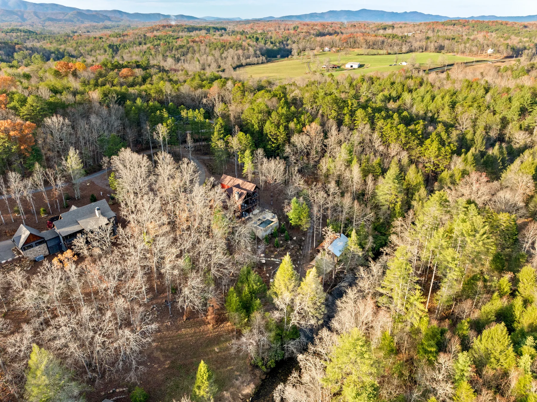
That dead end matters. Aska Road goes nowhere else, so it carries residents, renters, and recreation traffic rather than through-traffic. Homes here range from older river cabins to large timber-frame builds on wooded slopes, and because the national forest borders so much of the route, the corridor cannot sprawl. What exists along it is close to all that ever will.
What do the Aska trails put outside your door?
About 17 miles of blazed footpath and old logging grade, free and open year-round, per the Aska Trail System pages (checked July 2026). Individual routes run 1.0 to 5.1 miles, marked for hikers and mountain bikers alike. The agency’s directions read like a property tour: go south on Aska Road 4.4 miles to the Deep Gap parking area. Owners nearby stroll to a trailhead that visitors drive twenty minutes to reach.
The network layers three kinds of walking. Short loops leave straight from Deep Gap. The Green Mountain Trail begins just south of the gap and works toward the western flank of Blue Ridge Lake. Spur paths drop to the water, per Hiking Project data. My guide to hiking the Blue Ridge sets these routes against the rest of the North Georgia mountains.
Then there is the Benton MacKaye, the long-distance route from Springer Mountain toward the Smokies, which threads the valley and crosses the river at Shallowford Bridge. A quarter-mile stretch climbs from Stanley Creek Road to Fall Branch Falls, a double cascade that draws steady weekend visitors.
What does the river end of the corridor look like?
It looks like the reason people overpay for photographs. The Toccoa meets the road at Shallowford Bridge, a one-lane steel truss built in 1918. It measures 175 feet long by 11 feet wide, and its wooden deck still carries cars. Surveys count it among the few Pratt truss spans left in Fannin County. In summer the pool below fills with tubes, while nearby access points serve paddlers finishing the Toccoa’s canoe route at Sandy Bottoms.
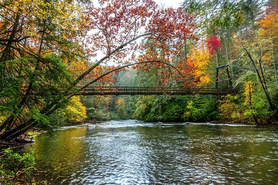
The fishing is regulated, which is a quiet compliment to the water. A delayed harvest trout section begins just upstream of the bridge on national forest land. From November 1 through May 14 it runs catch-and-release with artificial lures, under Georgia DNR trout rules, and anglers work it all winter. When the waders come off, dinner waits at the Toccoa Riverside Restaurant, 8055 Aska Road, still serving trout and steaks as of July 2026.
How do the corridor’s landmarks stack up?
| Landmark | What it is | The sourced detail |
|---|---|---|
| Downtown Blue Ridge | Northern end of the road | Corridor begins at the south edge of town |
| Deep Gap | Main trailhead and parking | 4.4 miles south on Aska Road (USFS) |
| Aska Trail System | Hiking and mountain-bike network | About 17 miles; routes of 1.0 to 5.1 miles (USFS) |
| Green Mountain Trail | Route toward Blue Ridge Lake | Trailhead just south of Deep Gap; spurs reach the shore |
| Shallowford Bridge | One-lane river crossing | Steel truss, 1918; 175 ft long, 11 ft wide |
| Toccoa Riverside Restaurant | Riverfront dining | 8055 Aska Road; operating as of July 2026 |
| Newport Road | Southern terminus | Aska Road dead-ends here past the campground |
Why do Aska Road homes command a premium in the North Georgia mountains?
Because the supply is capped and the setting is not replicable, though no published number proves it. National forest borders much of the corridor, so private parcels cannot multiply. Trail access, trout water, and a recognizable name concentrate on one road. Ask around town for the cabin address with cachet and this is the answer you get. Few corridors in the North Georgia mountains put all three on one road.
Here is the honest caveat. Every public statistic folds Aska Road into ZIP 30513. There, the typical home value stood at $518,606 in August 2026 per Zillow’s index, and the median asking price reached $699,225 that September, per realtor.com’s public research series.
Neither figure isolates this stretch. Whatever markup Aska carries emerges from parcel-level comps, pulled fresh, so insist on seeing them rather than accepting reputation as a number. For how Aska stacks against the county’s other pockets, the corridor-by-corridor guide lays the areas side by side.
What should you verify before buying on Aska Road?
Four things, none of them visible from the porch swing.
The rental rules favor the corridor, but confirm the parcel. Aska Road runs through unincorporated Fannin County, which has no zoning. Short-term rentals there operate under a $225 annual certificate, set by county Ordinance 2025-02 on vacation rentals, in force since August 2025. City parcels play by far stricter rules, so get the jurisdiction of record in writing.
The driveway may matter more than the road. Aska Road itself is county-maintained; many spurs off it are not, and Georgia statute puts private-road upkeep on the owners alone (O.C.G.A. § 32-1-8). Ask who graded the drive last, and whether a written maintenance agreement exists.
Water and septic are on you. Most corridor homes run on wells and septic systems, and Georgia requires no septic inspection at sale. Order both tests during due diligence.
Walk it in winter if you can. Steep grades and shaded valley curves behave differently in January. The Blue Ridge cabin buyer’s guide carries the complete pre-offer checklist, flood maps to tank sizing. Anyone weighing moving water against still water should also read the river-versus-lake comparison before falling for either.
How do you search Aska Road listings?
For the wider area picture, my Blue Ridge, GA neighborhood page keeps live listings and local notes in one place.
Watch the corridor, not a keyword box. Aska Road inventory surfaces among the current Blue Ridge, GA listings. That page is the fastest window on what the valley offers this season, since portal filters rarely isolate a single road. When something promising appears, move quickly on diligence rather than price; desirable stretches reward prepared shoppers.
I know this decision from both sides of it: I’m Thomas Echea, and I own in Blue Ridge and in Fort Lauderdale. I treat Aska Road the way locals do, as a place you learn on foot before you buy, so I walk clients from the Deep Gap trailhead to the bridge pool and let the setting make its own case.
To see what is available now, start with the Blue Ridge properties page or reach me directly. My personal Blue Ridge guide covers the rest of the town these trails run home to.
Frequently asked questions
How far is Aska Road from downtown Blue Ridge?
The road begins at the southern edge of downtown, so the corridor starts in minutes. The Forest Service’s own directions place the Deep Gap trailhead 4.4 miles south along Aska Road, and the river crossing at Shallowford Bridge lies farther down the valley.
Can you run a short-term rental on Aska Road?
Generally yes, because the corridor sits in unincorporated Fannin County, where rentals operate under a $225 annual certificate per county ordinance 2025-02 and no zoning restricts location. Confirm the specific parcel’s jurisdiction in writing before you offer, since city-limits rules differ sharply.
What outdoor access does Aska Road have?
Roughly 17 miles of Forest Service trail for hiking and mountain biking, plus the Benton MacKaye crossing at Shallowford Bridge, delayed harvest trout water, and the canoe route’s take-out. Few single roads in North Georgia concentrate as much.
Is there market data specific to Aska Road?
No. Public sources report at the ZIP level, where 30513 showed a typical value of $518,606 in August 2026 per Zillow. The corridor’s premium is priced through recent parcel-level comps, which I pull fresh for each negotiation.