
The Quick Version
- Toccoa River cabins sit on water Georgia classifies as Primary Trout Water, above the lake and below the dam.
- That sets a 50-foot undisturbed buffer on single-family construction, with no variance available.
- Ordinary state waters get 25 feet. Trout water doubles it.
- The upper river carries a 13.8-mile Forest Service canoe trail, so summer traffic is public.
- Delayed harvest runs November 1 to May 14: catch-and-release, single-hook artificial lures only.
- Unincorporated Fannin charges 6% excise on stays of 30 days or fewer.
Last updated August 2026.
Riverfront on the Toccoa costs you fifty feet. Georgia classifies the free-flowing river in Fannin County as Primary Trout Water, and that classification sets an undisturbed 50-foot buffer between a single-family residence and the waterline, with no variance available to shrink it. Ordinary creek frontage answers to 25 feet.
Listings for Toccoa River cabins seldom raise it. The photograph shows a porch above moving water, the description says river frontage, and both are true and incomplete. What transfers at closing is a regulated corridor that the public floats through every summer.
What does owning on the Toccoa River actually get you?
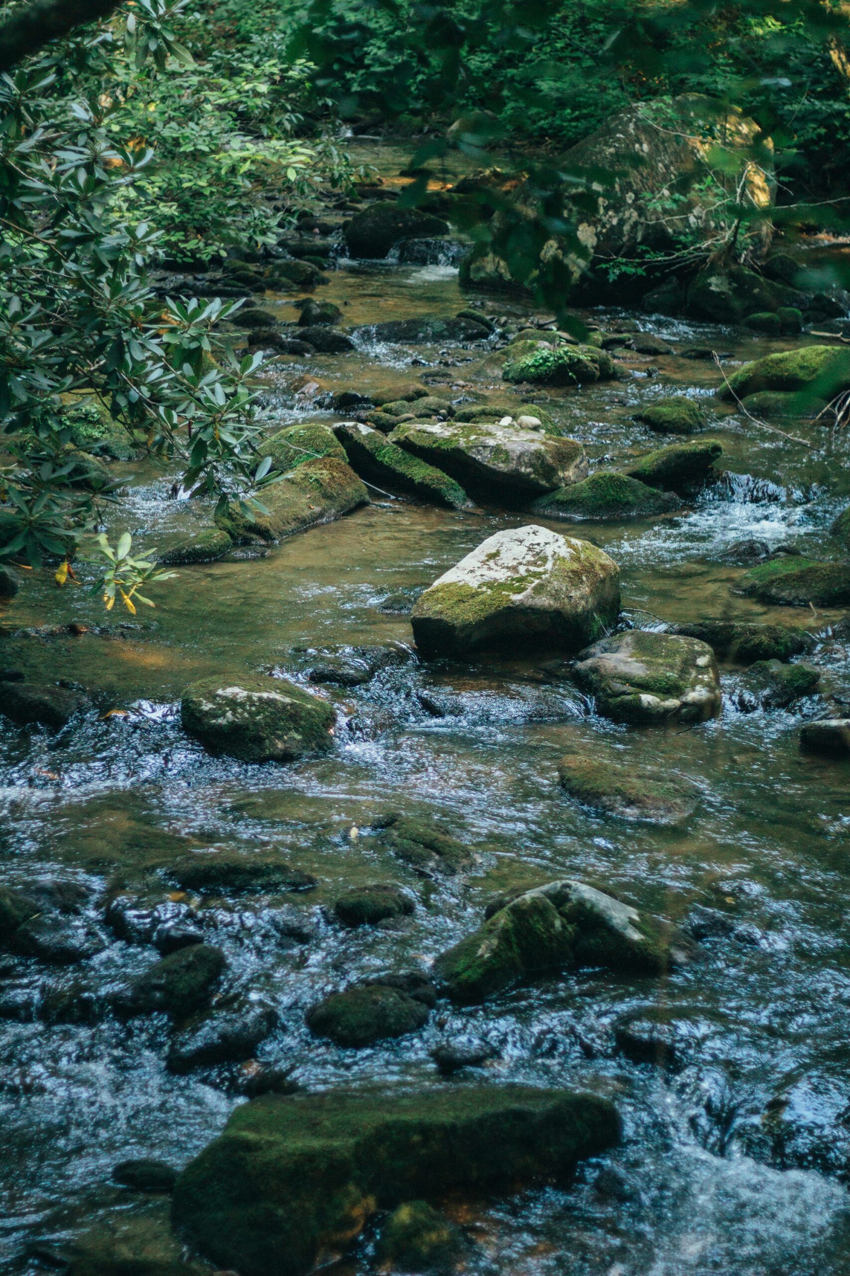
Moving water twelve months a year, and a rulebook the reservoir does not use. The Toccoa runs roughly 55 to 60 miles north from its headwaters in Union County, slows into Blue Ridge Lake, resumes below the dam, and crosses into Tennessee at McCaysville as the Ocoee. Frontage here means bank, not a slip.
Three things arrive with that bank. Trout, because the water holds cold enough to sustain them. Company, because the Forest Service owns much of the opposite shore upstream. And a buffer rule governing what you may cut, grade, or build within 50 feet of the water.
The MLS field for river frontage is a checkbox. It records that water touches the parcel. It records nothing about which reach, which regulatory class, or how much of the lot you are permitted to disturb.
Which stretch of the Toccoa are you buying on?
There are three, and they behave nothing alike. Ask which one a parcel sits on before you ask about the kitchen.
| Reach | Where it runs | What ownership involves |
|---|---|---|
| Upper river | Deep Hole down to Sandy Bottoms, along the Aska corridor | Primary Trout Water; a 13.8-mile Forest Service canoe trail; the delayed harvest section; steady float traffic in summer |
| Lake backwater | Where the current slows into Blue Ridge Lake | Reservoir behavior, TVA winter drawdown, dock permitting |
| Tailwater | Blue Ridge Dam north toward McCaysville | Primary Trout Water; level rises and falls with hydro releases; roughly 13 to 15 river miles to the state line |
Two of the three carry the trout classification. Georgia EPD’s county trout stream designations name the Toccoa twice under Fannin County: the watershed upstream to Blue Ridge Reservoir dam, and the watershed upstream from the reservoir’s backwater. The impoundment itself falls to the secondary catch-all.
The upper river carries the recreation load. The canoe trail covers 13.8 miles from Deep Hole Recreation Area to Sandy Bottoms, at a $5 day use fee per vehicle on each end as of 2026. Between them sits the delayed harvest water, which the Georgia Wildlife Resources Division manages as catch-and-release from November 1 through May 14, single-hook artificial lures only, on U.S. Forest Service land from 0.4 miles above Shallowford Bridge upstream to a point 450 feet upstream of the Sandy Bottom canoe access.
Why does trout classification change what you can build in the North Georgia mountains?
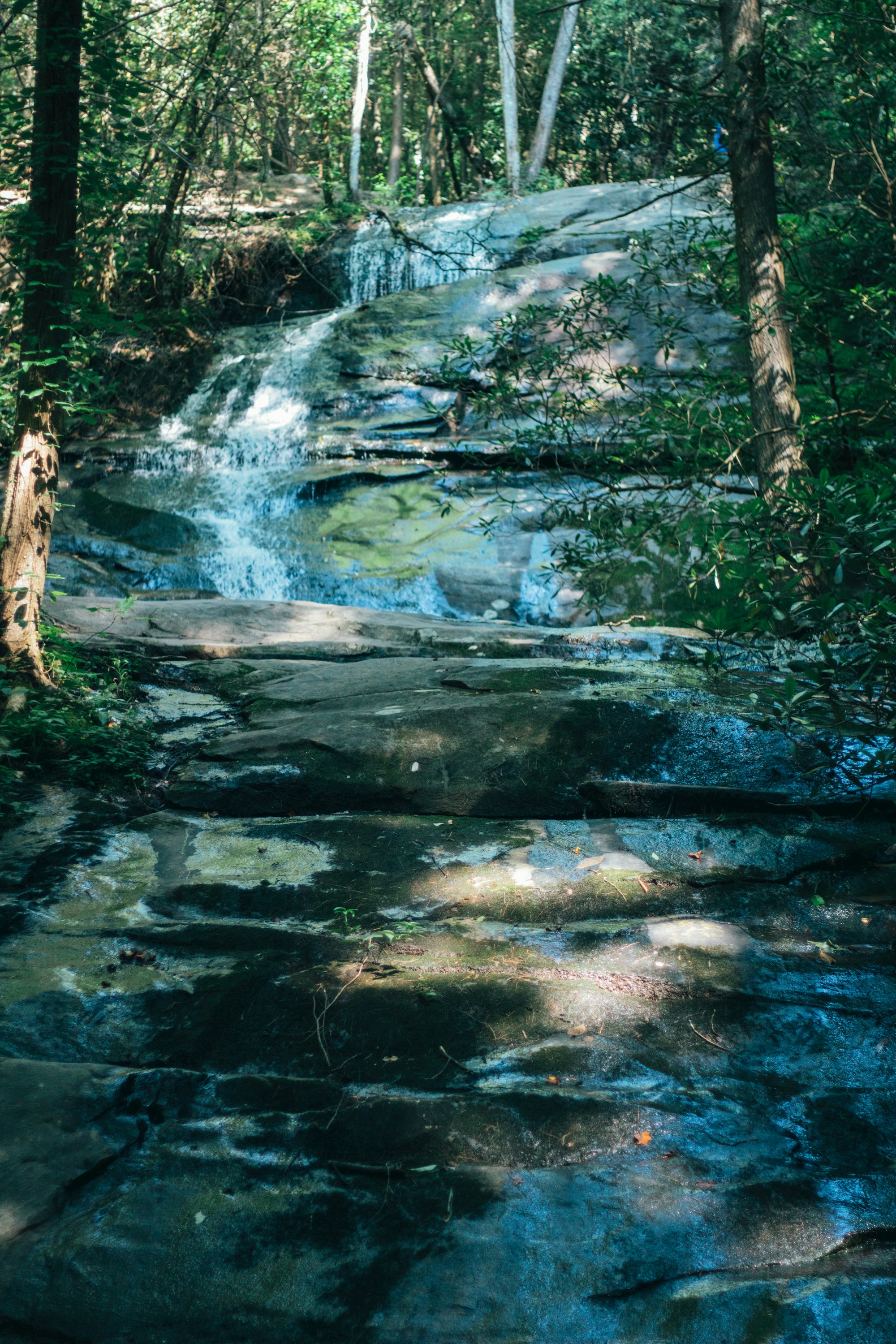
Because it doubles the buffer and closes the escape hatch. Georgia’s Erosion and Sedimentation Act sets 25 horizontal feet of undisturbed vegetation along ordinary state waters and 50 feet along waters classified as trout streams, measured from the point where vegetation has been wrested by normal stream flow.
Building a single house exempts you from the permit, not from the buffer. Where construction disturbs less than one acre and is not part of a larger plan of development, O.C.G.A. § 12-7-17 still requires a buffer zone between the residence and the water, and the figures split by class.
| Water class | Required buffer | Variance available? |
|---|---|---|
| Primary trout waters | 50 horizontal feet | None. No variance to a smaller buffer may be granted. |
| Secondary trout waters | 50 horizontal feet | The director may reduce it, but not below 25 feet. |
| First order trout waters | 25 horizontal feet | None. |
| Other state waters | 25 horizontal feet | By director variance. |
How much of a riverfront lot can you actually use?
Read the table against a Toccoa parcel. On the free-flowing river you cannot clear to the bank for a build, and nobody at EPD holds authority to permit it. A mowed lawn reaching the water on an older property is not evidence that you could create the same thing now.
Septic siting compounds the squeeze. Georgia’s on-site sewage rules keep a tank at least 25 feet off a stream, and a drainfield wants room that the buffer will not return. On a narrow riverfront lot, the buildable envelope frequently sits on the half of the parcel nobody photographs.
Where does your property line stop at the water?
Usually mid-channel, though the deed governs. Georgia treats the bed of a non-navigable stream as belonging to the adjoining owner, and where someone holds one bank only, the boundary runs to the thread of the stream. Navigable waters under state law are those capable of carrying freight boats in the regular course of trade, and owners along those reach only the low-water mark.
Owning the bed does not close the surface. It does not lift a kayak off a run the Forest Service publishes as a canoe trail, and it does not move anglers off water the state stocks. Have the closing attorney read the legal description aloud, then budget for visitors.
What does the flood map cost on Toccoa frontage?
A premium and a diligence step, neither of which the listing quotes. Fannin County’s effective flood insurance rate map dates to September 17, 2010, per FEMA, so the mapping is roughly 15 years old as of 2026. Inside a high-risk zone, coverage becomes mandatory with any federally backed mortgage under 42 U.S.C. 4012a, and a standard homeowners policy excludes flood damage entirely.
Order a determination for the exact parcel rather than the neighborhood. On the tailwater, add the question no map answers: when does the utility generate, and how far does the river climb when it does. Anyone weighing frontage below the dam should ask when the water comes up, not whether.
Do Toccoa River cabins work as short-term rentals?
They rent well, and the county collects. Unincorporated Fannin treats any stay of 30 consecutive days or fewer as a short-term vacation rental, levies 6% excise on gross rent, and requires an Accommodation Excise Tax Certificate renewing annually at $225. Payments remitted after the 20th carry a 15% penalty, and a certificate not renewed by December 31 adds $25.
Inside Blue Ridge city limits a flat 8% city excise applies instead, not the county’s 6% with a surcharge stacked on top. Confirm the jurisdiction before you underwrite nightly revenue. Most Toccoa frontage sits outside the city.
Property tax follows the same boundary. An unincorporated Fannin parcel carried 9.073 mills for 2025, being 2.440 county plus 6.633 school, against Georgia’s 40% assessment ratio. Inside Blue Ridge the city’s 3.826 lifts the stack to 12.899. The arithmetic is laid out in Fannin County property taxes.
How should you evaluate a Toccoa River cabin?
Reach first, buffer second, flood map third. A parcel above the lake near Sandy Bottoms shares its summer with paddlers. A parcel below the dam shares its schedule with a generating station. Both carry 50 feet you may not disturb.
I’m Thomas Echea, and I own a home here in Blue Ridge, which means I have walked more of these banks than I have ever listed. What unsettles buyers is never the water. It is learning after closing that the flat spot they pictured for a fire pit falls inside a buffer nobody raised at the showing.
Walk the lot from the waterline back before you write the offer. Fifty feet reads as nothing on a survey and reads as most of the yard when you pace it.
If the choice is still moving water against open water, the side-by-side sits in buying waterfront in Blue Ridge. Most of the upper river’s frontage feeds off one corridor, mapped in the Aska Road corridor guide. For a search wider than the river, start with cabins for sale in Blue Ridge. None of this is legal advice; bring a Georgia closing attorney in before you sign.
Frequently asked questions
Can you buy a cabin on the Toccoa River?
Yes. Private frontage exists on the upper river along the Aska corridor and on the tailwater running north from Blue Ridge Dam toward McCaysville, interleaved with Chattahoochee National Forest holdings. Inventory is thin relative to lake and off-water cabins, and each parcel carries a 50-foot trout stream buffer that limits what can be disturbed near the water.
What should you check before buying riverfront property in Blue Ridge?
Five things: which reach of the river the parcel sits on, the flood zone determination for that exact parcel, where the 50-foot buffer falls against the buildable area, whether septic can be sited outside it, and whether the property lies inside or outside Blue Ridge city limits, which changes both the millage stack and the lodging excise rate.
Do Toccoa River cabins work as short-term rentals?
They do. In unincorporated Fannin County, any stay of 30 consecutive days or fewer counts as a short-term vacation rental, requires an Accommodation Excise Tax Certificate that renews annually at $225, and carries 6% excise on gross rent. Payments remitted after the 20th add a 15% penalty. Inside Blue Ridge city limits a flat 8% city excise applies instead.
How wide is the buffer on a Toccoa River lot?
Fifty horizontal feet, measured from the point where vegetation has been wrested by normal stream flow. Because the free-flowing Toccoa in Fannin County is Primary Trout Water, O.C.G.A. § 12-7-17 permits no variance to a smaller buffer for single-family construction. Ordinary state waters carry 25 feet, and that one can be varianced.
Is the Toccoa River a designated trout stream?
Yes, as Primary Trout Water. Georgia EPD’s county designation list names two Fannin County reaches: the Toccoa River watershed upstream to Blue Ridge Reservoir dam, and the watershed upstream from the reservoir’s backwater. Primary designation means a self-sustaining wild population and the strictest temperature and impoundment standards the state applies.
Can the public float past a private Toccoa River cabin?
Yes on the canoe trail run. The Forest Service publishes a 13.8-mile float from Deep Hole Recreation Area to Sandy Bottoms, and paddlers, tubers, and anglers use it through the warm months. Owning the streambed under Georgia law does not close the surface to that traffic, so buy the upper river expecting a summer audience.
Do riverfront cabins in Blue Ridge need flood insurance?
Any parcel inside a mapped high-risk zone does, once a federally backed mortgage is involved, under 42 U.S.C. 4012a. Standard homeowners policies exclude flood damage regardless. Fannin County’s effective flood map dates to September 17, 2010, so order a current determination for the specific parcel instead of relying on the map’s vintage.
Is it better to own above the lake or below the dam?
Above the lake gives you a natural free-flowing river, delayed harvest trout water, and heavy summer float traffic. Below the dam gives you a colder tailwater, fewer paddlers, and a level that moves with hydro releases. Both are Primary Trout Water, so the 50-foot buffer applies either way. The choice is a tolerance question, not a quality one.