
The Quick Version
- Buying mountain land in Blue Ridge should start with a dozen checks made standing on the parcel.
- Fannin County’s median home sold for $644,500 through August 2026, so a lot must earn its price.
- A septic permit follows a county Board of Health site inspection, so soil is a contract question.
- Photograph every boundary pin, the road cut and the creek before you leave.
- Last updated September 2026.
Buying mountain land in Blue Ridge is decided on the ground: a dozen checks, made in about an hour, tell you whether a lot can hold a pad, a driveway and a septic field. A view sells the lot, but slope, water and access decide whether you can build on it.
I’m Thomas Echea, a Luxury Real Estate Advisor with E+E Group at Compass, and I own homes in Blue Ridge and Fort Lauderdale. This is the checklist I walk with buyers in the North Georgia mountains. The market figures come from the Georgia Association of Realtors Local Market Update for Fannin County, year to date through August 2026.
What should you check when buying mountain land in Blue Ridge?
Work through twelve stops in order, and stop trusting the listing photos at the first red flag. Bring a tape, a phone with the parcel map loaded and boots you can climb in.
| Stop | What to look for | Red flag |
|---|---|---|
| 1. Road frontage | Where the public road ends and the drive begins | A gate or track with no recorded easement |
| 2. Driveway line | The route from road to pad, on foot | A climb you would not want in an icy January |
| 3. Building pad | A flat or gently sloped area with room to work | The only flat ground sits beside water |
| 4. Slope below the pad | Where runoff will go after the clearing | Bare, steep ground running toward a neighbor |
| 5. Creek and springs | Flowing water, wet seams, swampy patches | Water close to the only pad site |
| 6. Soil surface | Rock outcrops, shallow soil, standing water | Ledge showing across the likely septic area |
| 7. Boundary pins | Iron pins, flagging, old fence lines | A fence that does not match the plat |
| 8. Neighbors’ edges | Sheds, drives or clearing that cross the line | A structure inside your boundary |
| 9. Power and water | The nearest pole, meter or water line | A long run with no easement to reach it |
| 10. Cell signal | Bars at the pad, not at the road | One bar or none where you would sit |
| 11. Trees and canopy | Dead or leaning trees near the pad | Large dead trees over the drive |
| 12. Sound and sky | Road noise, power lines, the winter view | A view that exists only in summer leaf-off |
Print this table, mark each stop pass, question or fail, and give it to your advisor afterward.
How do you judge slope and a buildable pad?
Walk it, then walk it again downhill. A pad is buildable when you can stand on level ground and see room for a foundation, a driveway turnaround and a place to stack fill. If the only level ground sits beside a creek, the pad is not really yours to use.
Look downhill of the pad. Clearing a steep slope sends runoff toward whatever sits below, and that neighbor becomes your problem. A builder can grade almost anything, but grading costs money and shows up in the price of the finished house.
What should you look for on water, drainage and creek setbacks?
Find every source of water before you fall for the lot. Look for the creek itself, wet seams in the bank, moss lines on rocks and green patches that stay soggy after a dry week.
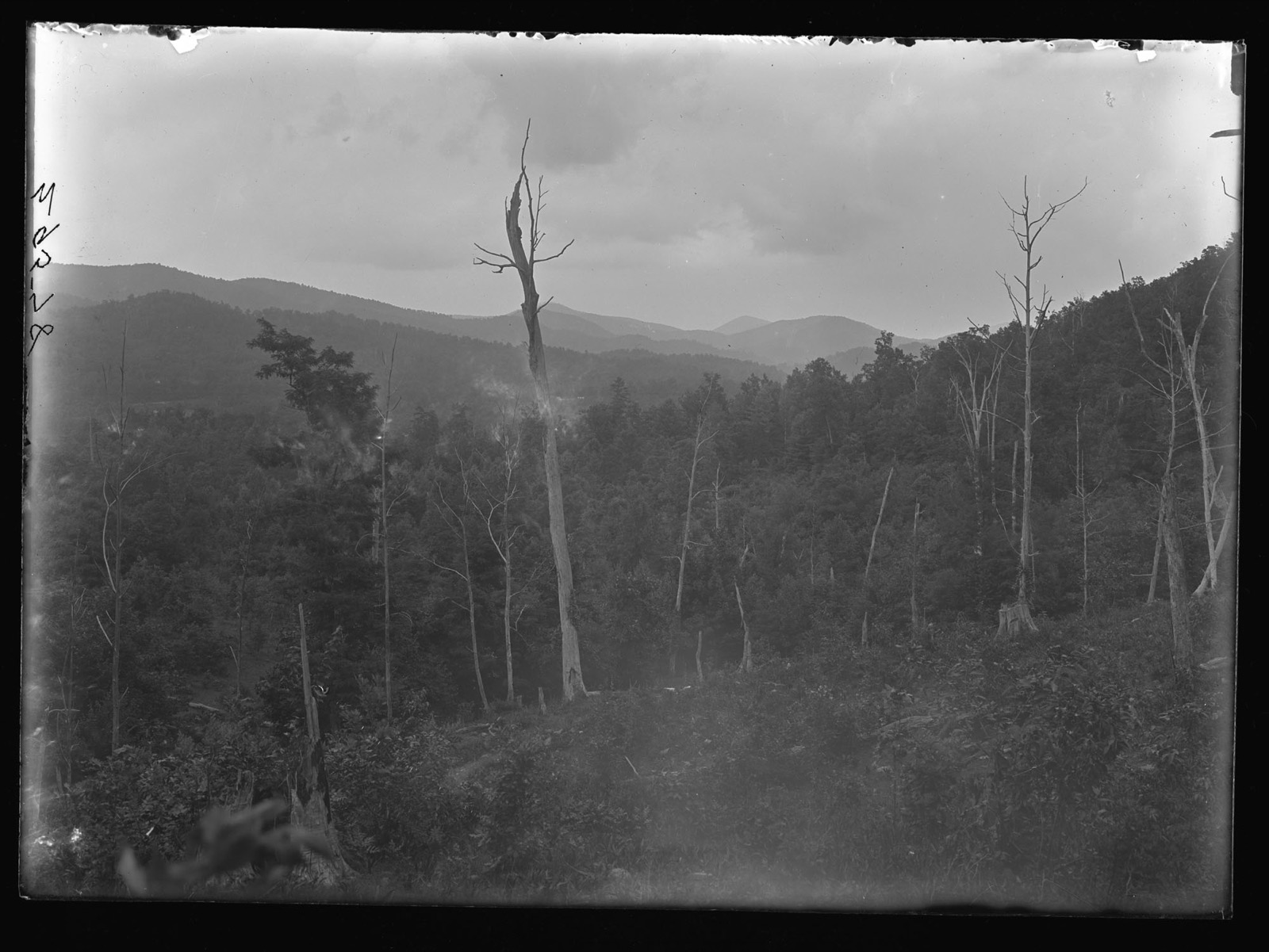
Georgia sets buffers along streams, and trout streams carry a wider one, so a creek can take a large strip of a small lot. Ask the Fannin County Land Development Office where the line falls on this parcel before you draw a pad near water. Do not rely on the seller’s memory.
How do you read the road cut and the driveway?
The road cut is the tell. Look at the bank where the road meets the property: exposed rock, fresh slides or a raw red slope mean the ground moves. Check the surface after rain if you can, because gravel that looks fine in September washes out in March.
Then stand at the top of the driveway line and imagine a delivery truck. A steep, curving drive costs more to build and more to keep open in winter. If the seller has cleared a track, ask who built it and whether it sits inside a recorded easement.
What do soil and septic signs tell you on the ground?
They tell you whether to spend money on a soil evaluation, not whether the lot passes. Under Georgia Rule 511-3-1-.03, a septic permit is issued only after a County Board of Health site inspection shows favorable findings on absorption rates, soil, groundwater and rock.
On foot, note ledge rock, thin soil and wet ground, since each one raises the odds of a failed evaluation. The USDA’s free Web Soil Survey maps soil types for a parcel you outline. Treat it as a screen, then make the contract depend on a real evaluation.
How do you confirm boundaries, utilities and cell signal?
Find the pins yourself. A licensed survey sets iron pins at the corners, and a buyer who can locate three of four has a reason to trust the plat. Where you cannot find a pin, ask for the survey date and look for a fence that follows another line.
For utilities, find the nearest pole and note who owns it. Ask the seller in writing whether power and water reach the lot line. For signal, stand where the house would sit and test your own phone, because a strong signal at the road can vanish behind a ridge.
What should you photograph and ask the seller?
Take photos as evidence, not souvenirs. Shoot each pin you find, the road cut, the creek, the pad from three sides and every place where a neighbor’s use touches the line. Add a phone shot of the signal bars at the pad.
- Has the lot ever been surveyed, and when?
- Is the access deeded, and who maintains the road?
- Has anyone run a soil evaluation or applied for a septic permit?
- Has the seller had water on the pad after a heavy rain?
- Are there liens, timber contracts or leases on the land?
Why does the walk matter in the current Fannin County market?
Because time is on the buyer’s side. Fannin County had 1,229 single-family homes for sale in August 2026, an 11.2-month supply, and homes closed at 95.3% of list price year to date. There were 814 closed sales through August, at a median of $644,500 and 86 days on market.
That leverage lets you spend a week on inspections and still negotiate. A lot that needs a survey, a soil evaluation and a driveway plan should be priced with that work in mind. I compare the nearby counties in where to buy a mountain home in the Southern Blue Ridge, and I cover build financing in how to finance a mountain cabin in Blue Ridge. Property tax follows the parcel, so read Fannin County property taxes before you offer.
Frequently asked questions
What should I check first when I visit mountain land?
Check access first: where the public road ends, whether the drive follows a recorded easement and how steep the driveway line is on foot. Then find the level ground for a pad, because a lot without a workable pad or road rarely improves with more touring.
How can I tell if a lot can hold a septic system?
You cannot tell from a walk alone. Georgia issues a septic permit only after a County Board of Health site inspection shows favorable findings on absorption rates, soil, groundwater and rock, so make your contract depend on a soil evaluation.
What should I photograph when I walk a lot?
Photograph every survey pin you find, the road cut, the creek and any wet ground, the pad from three sides and every place a neighbor’s use touches the line. Add a shot of your phone’s signal bars at the pad.
Is a creek on the lot good or bad?
Both. A creek adds appeal, but Georgia sets stream buffers, and trout streams carry a wider one. Ask the Fannin County Land Development Office where the buffer falls before you place a pad near water.
Do I need a survey before I buy mountain land?
I recommend one. A survey sets pins at the corners and shows whether a fence, shed or drive crosses the line, so make the survey part of your due diligence period.