
The Quick Version
Blue Ridge sells two kinds of waterfront that photograph alike and behave nothing alike. Lake homes sit on a TVA reservoir of roughly 3,220 acres, where the agency sets the pool elevation and licenses every dock. Riverfront on the Toccoa trades that oversight for moving current, trout, and a flood map you must read before you offer.
- TVA draws Blue Ridge Lake down about 22 feet for winter: 1,687 feet at the June 1 summer peak, 1,664.8 to 1,668 by New Year’s, per its operating data.
- Every dock rides on a TVA Section 26a permit that stays behind at sale. Buyers get 60 days from closing to file their own.
- About 80% of the lake’s 68 shoreline miles belong to the Chattahoochee National Forest, capping private frontage permanently.
- The Toccoa carries a delayed harvest trout stretch (catch-and-release, November 1 to May 14) and a 13.8-mile canoe trail. Below the dam it runs north to McCaysville and becomes the Ocoee at the Tennessee line.
Waterfront property in Blue Ridge, GA means one of two things: a home on Blue Ridge Lake, or riverfront along the Toccoa. The first comes with a federal landlord that manages the reservoir and approves every structure at the shoreline. The second brings current, angling regulations, and insurance math. Neither is better. They suit different owners, and this guide compares them fact by fact.
What counts as waterfront in Blue Ridge, GA?
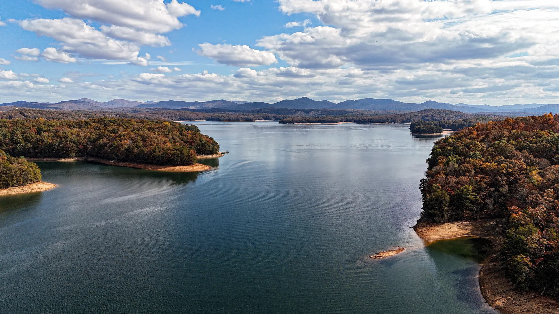
Two waters, one river system. Blue Ridge Lake covers about 3,220 acres with 68 miles of shoreline, per TVA’s land management plan. Roughly 80% of that edge belongs to the Chattahoochee National Forest rather than to private owners. The Toccoa feeds the reservoir, dropping out of the high country past the Aska Road corridor. It exits at Blue Ridge Dam, runs north to McCaysville, crosses into Tennessee, and takes a new name there: the Ocoee.
The dam predates the agency operating it. Toccoa Electric Power Company started construction in 1925, the structure entered service circa 1930 to 1931, and TVA acquired it in 1939. That history carries one practical consequence for buyers. The authority holds land or flowage rights along most of the shore, so the strip between many lakefront lots and the waterline is not entirely the owner’s to use as they please.
What do buyers of Blue Ridge Lake homes need to know?
Three things: the pool moves, the shoreline is federally managed, and the dock in the listing photos is not yet yours.
The lake drops about 22 feet every winter. TVA operates Blue Ridge as a storage reservoir. Its guide curve targets a summer pool of 1,687 feet on June 1, then draws it down to between 1,664.8 and 1,668 by January 1 (TVA operating data, checked July 2026).
A cove that floats a pontoon in July can sit high and dry come January. Walk the lot in the cold months if you can, or study drawdown photos first. The agency’s own caution deserves quoting: schedules “can change without notice,” and “large amounts of water could be discharged at any time.”
Docks run on federal permits, and the permit dies at closing. Any dock or shoreline structure requires a Section 26a permit, and approvals do not transfer with a sale. The incoming owner must apply within 60 days. TVA also warns that covered second-story docks “will likely have to be removed” upon review. Treat the slip as an application you inherit, not an asset you purchase, and fold the 26a paperwork into due diligence rather than discovering it afterward.
Scarcity here is structural. With four-fifths of the frontage held by the national forest, the stock of private lakefront cannot grow. Whatever exists today is close to all there will ever be. That is the long-term argument for owning it. It also rewards patience, because the right listing surfaces on its own schedule, not yours.
What is it like to own riverfront property on the Toccoa River?
Depends on the stretch. Above the reservoir, the upper Toccoa winds through a quilt of private parcels and public forest along Aska Road. Below the dam, the tailwater flows north toward McCaysville. Both sections hold trout, and each fishes, floats, and floods on different terms.
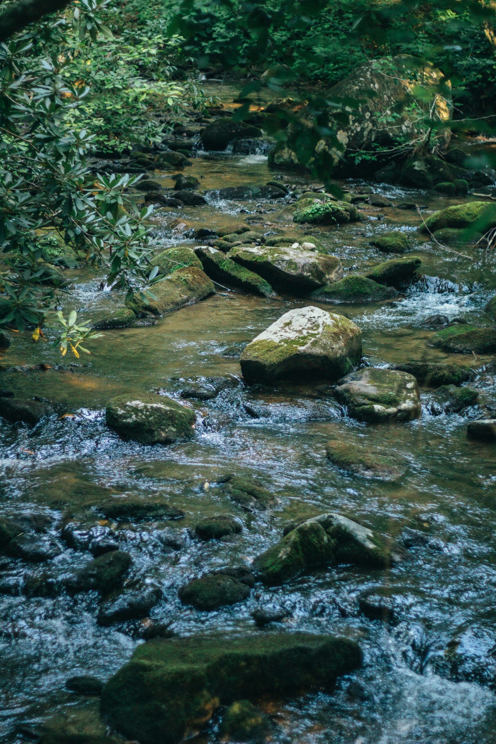
Part of the river is regulated angling water. The delayed harvest stretch runs across Forest Service land, from 0.4 miles above Shallowford Bridge upstream to 450 feet beyond the Sandy Bottom canoe access. From November 1 through May 14 it is catch-and-release, single-hook artificial lures only, per Georgia DNR trout regulations. For an owner that cuts two ways: genuinely good fishing near the porch, and steady angler traffic on the public sections through winter and spring.
The float is an amenity somebody else maintains. The Forest Service’s Toccoa River Canoe Trail covers 13.8 miles from Deep Hole Recreation Area down to Sandy Bottoms, so summer sends kayaks and tubes past riverfront cabins on that run. The same current supplies the City of Blue Ridge’s drinking supply, drawn from the Toccoa per EPA records, which says something about how clean this watershed stays.
Below the dam, TVA still sets the rhythm. The tailwater rises and falls with hydro releases, and the notice-free discharge caution quoted above applies downstream just as it does on the reservoir. Anyone considering frontage between the dam and McCaysville should ask when the river comes up, not whether.
Read the flood map before you fall for the porch. Fannin County’s current effective flood insurance rate map dates to September 17, 2010, per FEMA, so the mapping is roughly 15 years old. Inside a high-risk zone, coverage becomes mandatory with any federally backed mortgage under 42 U.S.C. 4012a, and standard homeowners policies exclude flood damage entirely. Order a fresh determination for the exact parcel and price the premium into the offer, not after it.
River or lake: how do the two compare in the North Georgia mountains?
| Factor | Blue Ridge Lake | Toccoa River |
|---|---|---|
| Water level | Drawn down roughly 22 feet each winter on TVA’s schedule | Flows year-round; the tailwater moves with dam releases |
| Docks | Section 26a permit; non-transferable, 60 days to reapply after closing | Bank frontage rather than slips |
| Neighboring land | About 80% national forest; TVA rights along most of the rest | Patchwork of private tracts and USFS holdings |
| Fishing | Open reservoir | Delayed harvest trout section, catch-and-release November 1 to May 14 |
| Flood diligence | Parcel-by-parcel via FEMA maps | Same maps, but the 2010 vintage makes a current determination essential |
Read the table as a temperament test. The lake rewards people who want big open water in summer and can accept an edge that retreats every winter on someone else’s calendar. The river suits those who want the sound of moving current twelve months a year and will do the insurance homework.
Which waterfront fits which buyer?
- Boaters and swimmers: the lake. Pontoon summers, deep coves, a forested backdrop. Budget time for the permit transfer and see the shoreline at winter pool before committing. My local’s guide to Lake Blue Ridge covers where to get on the water, the dam, and the town side of the lake.
- Anglers and paddlers: the river. A managed trout fishery and a 13.8-mile float, with cabins along the Aska corridor putting both outside the door.
- Rental-minded buyers: check jurisdiction first. Short-term rental rules in Fannin County turn on location of record, not the view. Unincorporated property rents under a $225 annual certificate, while inside city limits rentals are confined to the Central Business District. The cabin buyer’s guide walks through that split in detail.
- View-first buyers: reconsider both. Some of the finest settings in the North Georgia mountains are ridge-top. Water is one premium among several here, and touring a mountain-view comp before paying for frontage is rarely wasted time.
How should you start a waterfront search in Blue Ridge?
Start wide, then let the water narrow it. Browse current Blue Ridge listings to see what lake and river frontage actually costs this season. Read the Blue Ridge cabin buyer’s guide for the due-diligence stack any purchase in the North Georgia mountains demands: wells, septic, access roads, and the rest. For the fuller picture of the town these waters run through, there is the guide to living in Blue Ridge and my own Blue Ridge guide.
I’m Thomas Echea. I own a home here in Blue Ridge, and I have walked lakefront lots in January for exactly this reason: the winter shoreline tells the truth that July photos will not. When a waterfront search gets serious, reach me here and we can walk the shoreline together.
Frequently asked questions
Can you build a dock on Blue Ridge Lake?
Only with a Section 26a permit from TVA. Approvals stay with the applicant, not the property, so a purchase starts the clock: 60 days to file as the new owner. Covered second-story structures face likely removal upon review.
How far does Blue Ridge Lake drop in winter?
Roughly 22 feet. The guide curve calls for 1,687 feet on June 1 and between 1,664.8 and 1,668 by January 1, and TVA notes its schedules can shift without warning. Tour lakefront with the January shoreline in mind, not the July one.
Is the Toccoa River good for trout fishing?
Yes. Georgia DNR designates a delayed harvest section on Forest Service land, from 0.4 miles above Shallowford Bridge to 450 feet beyond the Sandy Bottom canoe access. November 1 through May 14 it is catch-and-release with single-hook artificials.
Do riverfront homes in Blue Ridge need flood insurance?
Parcel by parcel. A home inside a FEMA high-risk zone must carry coverage when financed with a federally backed mortgage, and homeowners policies exclude flood damage. Fannin County’s effective map dates to 2010, so order a current determination before buying.