
The short version: the Toccoa River Georgia paddlers favor is the upper stretch above Lake Blue Ridge, and it runs lowest in August, when median flow falls to 288 cubic feet per second, roughly 39% of the March median.
- The float most people mean is the Toccoa River Canoe Trail: 13.8 miles, Deep Hole down to Sandy Bottoms, per the U.S. Forest Service.
- Day use at Deep Hole runs $5 per vehicle. Camping is $15 a site at Deep Hole, $8 at Sandy Bottoms.
- Below the dam, the river is a working piece of power equipment. TVA can release water at any time, without notice.
- The catch-and-release delayed-harvest rules that anglers talk about are over by May 15. They do not apply in summer.
Last updated July 2026.
Summer here is a season of receding water. The U.S. Geological Survey has monitored the stretch near Dial since 1913. Across 93 years of measurement, the seasonal pattern barely wavers: June averages a median 431 cubic feet per second, July 340, August 288. March delivers 743. Whatever you floated over Memorial Day weekend becomes a considerably thinner channel by Labor Day.
That single measurement reorganizes a summer visit. It determines whether you drag your tube across gravel, where trout congregate, and which put-in justifies the drive. Nearly every published guide to this destination omits it.
What is the Toccoa River Georgia like in summer?
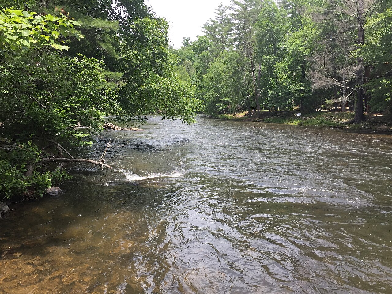
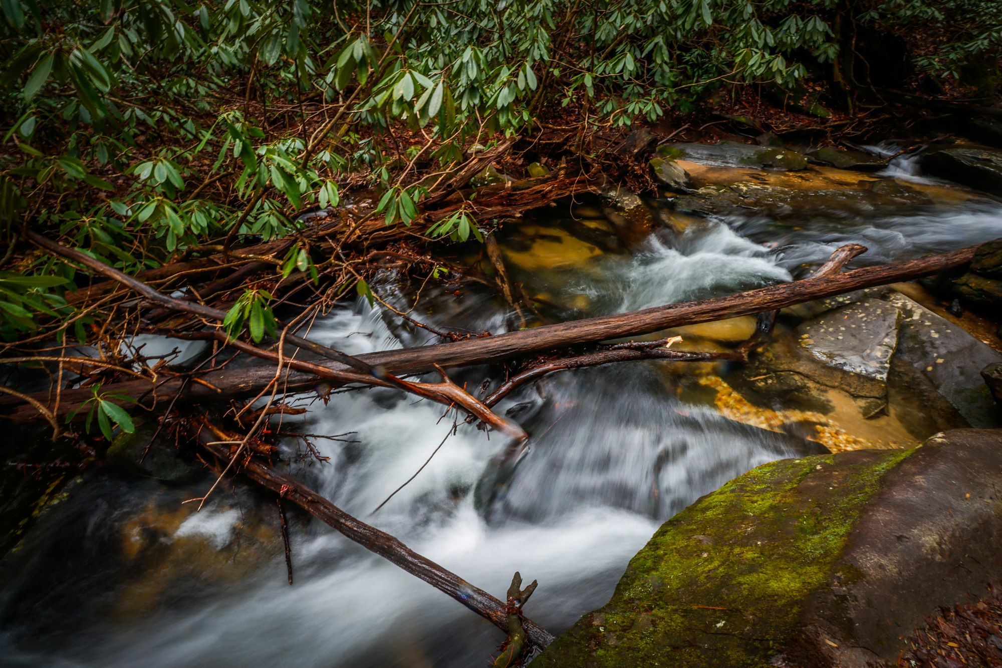
Shallow, clear, and slow above the lake; cold and unpredictable below the dam. Those are two different rivers with one name. Above Lake Blue Ridge, the Toccoa drains 177 square miles of mountain and behaves like a mountain stream, thinning out as the summer wears on. Below the dam, it runs on a utility’s schedule.
Knowing which one you are standing next to matters more than any packing list. The upper river is measured continuously at USGS gauge 03558000, Toccoa River near Dial, which posts flow and gage height around the clock. Reading it before you drive is free, and it is the closest thing to a straight answer about conditions on any given morning.
How much water is in the river in June, July, and August?
Progressively less each month. The table represents median monthly mean discharge at the Dial gauge across the complete 1913–2025 record. It therefore reflects a century of Junes, not one unusually wet or dry example. Summer is the driest interval of the warm season, and August establishes its floor.
| Month | Median flow (cubic feet per second) | Share of March flow |
|---|---|---|
| March (for reference) | 743 | 100% |
| June | 431 | 58% |
| July | 340 | 46% |
| August | 288 | 39% |
Source: USGS National Water Information System, site 03558000, statistics through 2025. A dry August can run well under the median; a storm week can double it for days.
Can you float the Toccoa River Canoe Trail?
Yes, and the Forest Service defines it precisely: “The entire float from Deep Hole to Sandy Bottoms is 13.8 miles.” That is the whole trail, put-in to take-out. Shorter days are a matter of arranging your own shuttle, not of a marked halfway exit.
Fees originate from the same authority. Deep Hole charges $5 per vehicle daily for day use, plus $15 per site nightly to camp. Sandy Bottoms camping costs $8 a site. That take-out operates 24 hours, observing quiet hours between 10 p.m. and 6 a.m., under a 14-day stay limit. Amenities are deliberately minimal: an information kiosk, a paved ramp for small boats, a vault toilet, picnic tables. Neither location supplies potable water, so carry your own.
Directions to the take-out, per the Chattahoochee-Oconee National Forest: south on Aska Road 8.5 miles, left across Shallowford Bridge, right onto Shallowford Bridge Road for 1.3 miles, reaching Old Dial Road, then 0.6 miles. Figures current as of July 2026.
Why does the river below the dam rise without warning?
Because a generator decides, not the weather. Blue Ridge Dam stands 175 feet high and runs 1,553 feet across the Toccoa. When water moves through it to make electricity, the tailwater below becomes a Class I–II float. When it stops, the river drops. The Tennessee Valley Authority does not soften this point:
“Water release schedules can change without notice due to unanticipated weather changes or power system requirements. Large amounts of water could be discharged at any time. Use caution! Obey all posted safety regulations and precautions!” — Tennessee Valley Authority, Blue Ridge Operating Guide
The reservoir above operates on a published curve. TVA’s operating guide targets an elevation of 1,686.9 feet in early June. It maintains the reservoir above 1,682 feet through August 31, then gradually draws it down to 1,664.8 feet by January 1. That represents a seasonal swing of roughly 22 feet. Summer occupies the top of the arc, which explains why the lake appears full in July and stranded in February.
Do the delayed-harvest trout rules apply in summer?
No. Georgia’s delayed-harvest season on the Toccoa runs November 1 through May 14, restricting anglers to single hooks, artificial lures, and catch-and-release. Beginning May 15, general regulations for designated trout waters take over. Anyone quoting catch-and-release rules to you in July is describing a season that ended two months earlier.
The delayed-harvest water itself is defined tightly: from 0.4 miles above Shallowford Bridge to 450 feet above the Sandy Bottom canoe access. Licensing does not take the summer off. Georgia’s Wildlife Resources Division puts it plainly: “Anglers age 16 or older must have a fishing license and a trout license.”
The fish maintain a federal address nearby. The Chattahoochee Forest National Fish Hatchery occupies 44.8 acres straddling Mill Creek and Rock Creek, both Toccoa tributaries. It produces approximately one million trout annually for north Georgia waters, distributed in cooperation with state and federal partners.
Where does the Toccoa River actually go?
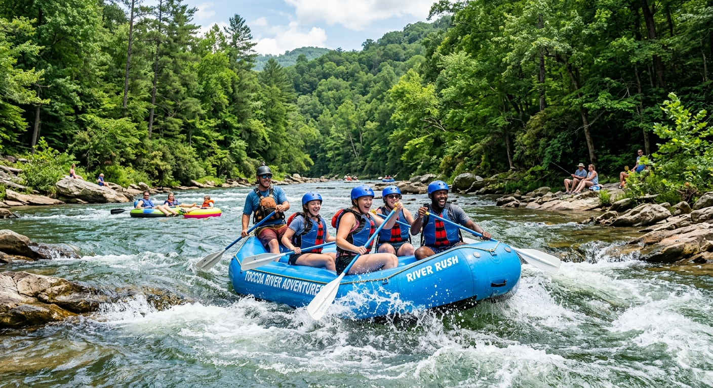
North, and then it changes its name. The Toccoa crosses into Tennessee and becomes the Ocoee — the same water the USGS gauges downstream as Ocoee River at Copperhill, Tennessee. The whitewater rafting industry an hour north runs on this river under its other name.
It also supplies the tap downtown. EPA drinking-water records identify the Blue Ridge Water System, PWSID GA1110000, drawing from a surface intake named, simply, TOCCOA RIVER. That system serves 6,112 residents through 2,695 connections. The river carrying your tube Saturday becomes the water in your glass at dinner. Few recreational rivers can claim such a direct municipal relationship, and it explains the watershed’s protection.
Thomas Echea, who owns homes in Blue Ridge and Fort Lauderdale, tends to direct new owners toward the gauge before their first float rather than the forecast. This river maintains its own calendar. Learning to interpret it becomes part of learning the territory. For additional coverage on foot and by car, see Thomas’s guide to exploring Blue Ridge. For the cost of owning a porch above this water, see homes and cabins for sale around Blue Ridge.
Frequently asked questions
How long is the Toccoa River Canoe Trail?
13.8 miles from the Deep Hole Recreation Area put-in to the Toccoa River Sandy Bottoms take-out, according to the U.S. Forest Service.
What does it cost to put in on the Toccoa River?
Day use at Deep Hole is $5 per vehicle per day. Camping is $15 per site per night at Deep Hole and $8 per site per night at Sandy Bottoms, as of July 2026. Potable water is not available at either site.
Is the Toccoa River low in summer?
Yes, and it declines as the season progresses. At the USGS gauge near Dial, median discharge measures 431 cubic feet per second in June, 340 in July, and 288 in August. March, by comparison, measures 743. The record begins in 1913.
Do I need a license to trout fish the Toccoa in July?
Yes. Georgia requires that anglers age 16 or older hold both a fishing license and a trout license. The delayed-harvest catch-and-release rules do not apply in summer; they run November 1 through May 14, and general trout regulations resume May 15.